Craft & Customize Urban Places
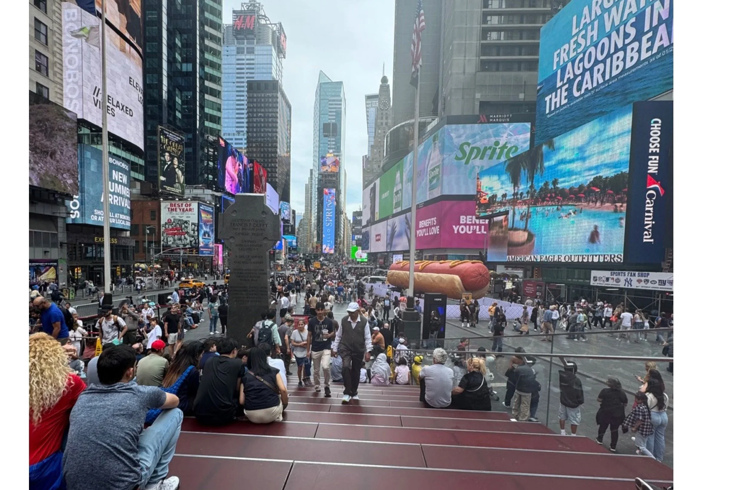
Time Square includes bleachers to help people watch people. There are no trees.
The Need For Practical Theory
In practice urban designers and city planners must eventually “do something” and “make it happen”. Accordingly, some essays in TheUrban Design Legacy of Colin Rowe discuss the way designers and planners should start to “do something” by anlyszing urban form through the use of figure-ground maps. But, as the analysis proceeds, so too do the constraints and opportunities of implementation.
Implementation requires pragmatism about “placemaking”, not the political pragmatism we achieve by asking the general public to “vote” their favorite place, but with an in-depth evaluation of the local historic and cultural context along and recognition of which theoretical constructs best fit local circumstances. When thinking pragmatically, planners cannot repeatedly use their favorite, “one-best-cookbook”. There are many authors whose ideas are relevant to pragmatic thinking depending on the problem at hand. City planners should not just use one approach. Every theory has a strength and weakness and a place where it succeeds and a place where it fails.
City planners must develop their expertise and learn how each set of concepts works best. Many authors, not just Rowe, have proposed different concepts that have pragmatic value. Rowe’s school of thought, however, is the only approach I have seen that implies we can (and should) apply different theories at different times and places. More importantly, his ideas suggest that whenever urban designers or city planners stick to one approach they inevitably create huge problems, especially for cities. Following are just a few of the theoretical approaches, several of which are noted in TheUrban Design Legacy of Colin Rowe that have pragmatic value for city planners. Over time many of these ideas have been combined and reinterpreted effectively.
City Planning According to Artistic Principles
Perhaps the most direct and pragmatic recommendations concerning the preferred structure for effective urban form come from Camillo Sitte’s City Planning According to Artistic Principles (1889). Most of his principles (like making plazas enclosed entities) can be adopted easily. Other principles Sitte advocates may need revision or cautious application, such as his recommendations regarding the aspect ratio of the width and length of public places and the height of buildings that enclose plazas. Other effective principles he identified are still being ignored because they are quite difficult or have lost their relevance among practitioners (like his recommendations for plaza groupings). Again, each of his principles has a time and place of relevance. Although not listed as a principle, he advocated changes to unbridled real estate practices that diminish the quality of public places (still valid after a century).

Sitte, like many good scientists, based his conclusions on widespread, open-minded observations, still true today.
He also recognized human psychological conditions that were being revealed, such as agoraphobia, that relate to mental well-being and the structure of good public places. Interestingly, a few decades after Sitte’s writings, advocates for planning in America found patterns of form related to mental illness and social disorganization in citifies, leading to the well-known concentric ring model (Park and Burgess). Perhaps such concepts remain relevant, especially with regard to reduction in mental stress when urban places exhibit a coherence of urban form.
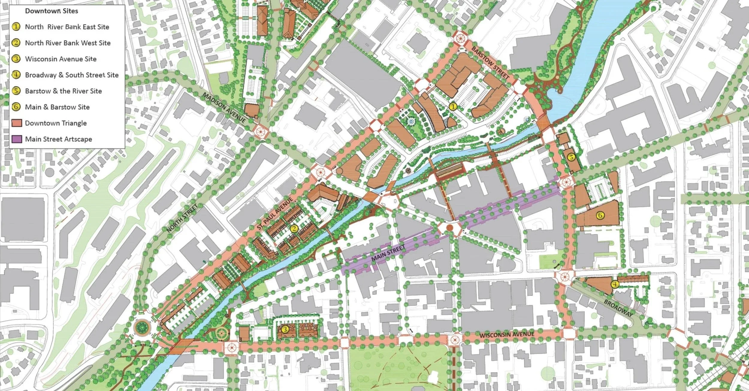
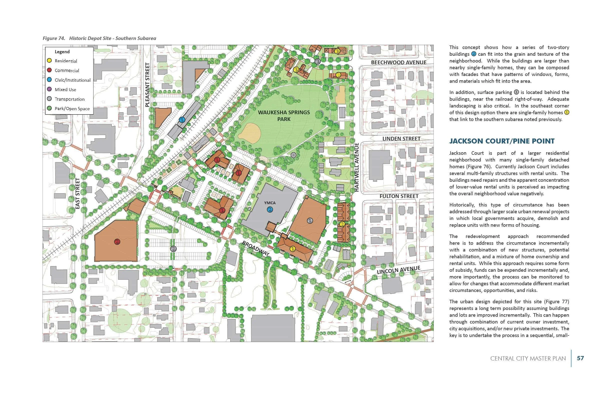
These plans were prepared for Waukesha, Wisconsin’s downtown and surrounding neighborhoods. They were customized over many months in discussions with land owners and the public with the intent of creating higher value public places. The design concepts followed many of the principles described in this essay.


Court and Garden
Michael Dennis’ Court & Garden – From The French Hotel To The City Of Modern Architecture (1986) provides an extraordinarily rich cultural and historical journey through the nature of public places. Dennis’ comprehensive approach to reading the “voids” in the figure-ground of a great city (a paradigm of public places) can certainly benefit urban planners in less celebrated communities. Court & Garden provides a much-needed cultural perspective of how the history of Paris became an archetype of the way urban forms embody a full range of human experience. Unlike the other works noted in this essay (where the key value to urban planners lies primarily in the immediate social experience linked to physical detail) in Dennis’ book the greater value is an understanding of how public places link to the entire history and culture of the community, not just the immediate circumstance. He selected perhaps the best metropolitan area in western culture to use as a basis for understanding urban forms. City planners cannot, pragmatically, rebuild Paris in America (although some have tried), but we can use Paris as a starting point rather than a final destination.
The City Shaped
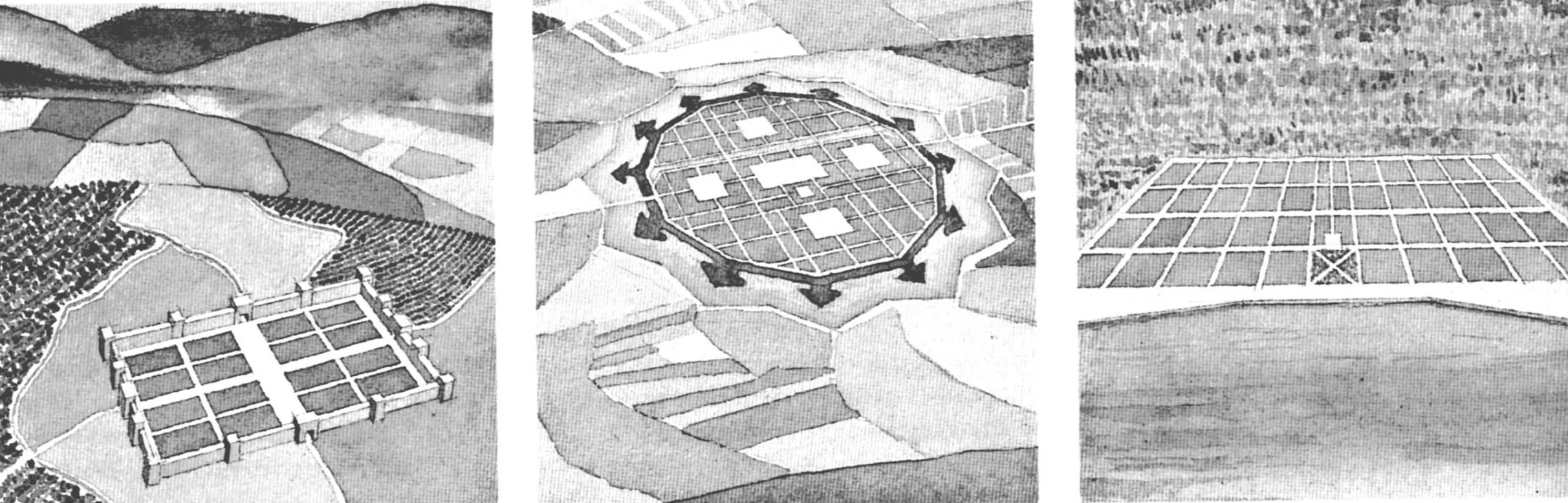
At a general level of urban morphology, Spiro Kostof’s book, City Shaped, provides detailed descriptions, precedents and typologies of urban form. Particularly relevant is his reprint of the three types of morphological maps promoted by M.R.G. Conzen (shown previously) which illustrate, progressively,
basic street and block patterns (also shown in Great Streets by Jacob)
the property ownership patterns (also referred to by Leon Krier as land use as opposed to property ownership), and
buildings on each block (a figure-ground with the added display of street edges).
Other useful analyses of form include typologies of city expansion, forms of waterfront evolution, and the patterns of form embedded in urban gardens and courtyards.
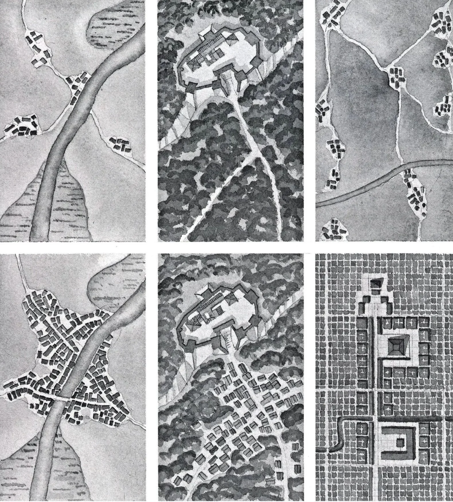
Kostof (above) offers three examples of the formation and evolution of urban patterns from left to right: four small clusters into a single community abutting a river; a single object-like fort into a central form with an emerging external grid; a series of separated enclaves into a large scale replacement with a new grid. Kostof (below) shows different variations in grid patterns: a Florentine new town from the 14th century; an ideal city plan fro 1615; and a plan for New Orleans from 1760.
New Urbanism
The strongest inclusion of linking urban form to planning practice comes from the advent of form-based codes (as exemplified in the code for Seaside by Duany Plater-Zyberk & Co). Form-based codes, as promoted by the Congress for the New Urbanism, replace ineffective and harmful “land use” and conventinal ”zoning” categories with a relevant in-depth way of planning that preserves a community’s traditional value.
Since its initial adoption, revisions to form-based codes, such as hybrid codes, have been instituted. On occasion, hybrid regulatory frameworks make policies too unwieldy and hard to inplement. More practical revisions to form-based codes, however, expand the recognition of other critical forms and patterns such as different types of gardens, public facilities, historic featurs, neighborhoods, and other factors that strengthen traditional urban neighborhoods.
In addition to form-based codes, new urbanism has promoted use of the urban “transect” and “smart codes” both related to urban form. In a transect-based plan, practitioners define different types of neighborhoods and districts within the city, usually following a layered or concentric pattern. Some planners mistakenly use the transect as an absolute template as opposed to customizing the forms to fit local history and geography. The transect, interestingly, follows much earlier theories in the economic geography of “rent cones” first drawn by Von Thunen in (1826) and the “concentric rings” (from Park and Burgess).
New Urbanism has gained recognition far beyond the world of urban design to include real estate investors, developers, engineers, elected officials, and the general public. In some ways it is reminiscent of the popularity enjoyed a century ago by devotees of the City Beautiful. Unlike modernism, which the general public never embraced, today’s general public usually views New Urbanism as a community friendly concept that supports middle-class lifestyles. Many architects reject New Urbanism as an unwanted mode of historicism (and “anti-modeern”) but that intellectual animosity has never taken root with urban planners.
The Charter for the New Urbanism also suggests that the planning profession’s use of “the urban general plan” and the “comprehensive plan” should be restructured according to the urban forms of “neighborhoods, districts, and corridors”. This simple land classification – neighborhoods, districts, and corridors – provides a major pragmatic advance by using customary, easily-understood local forms, rather than the jargon emphasizing land ownership rather than the collective community character and public interest. Similar theoretical models for urban form and character, other than land use, can be found in concentric ring theories, sector theories and urban nuclei nodes. All of these have practical application that match the meaningful form and cultural context of each community.
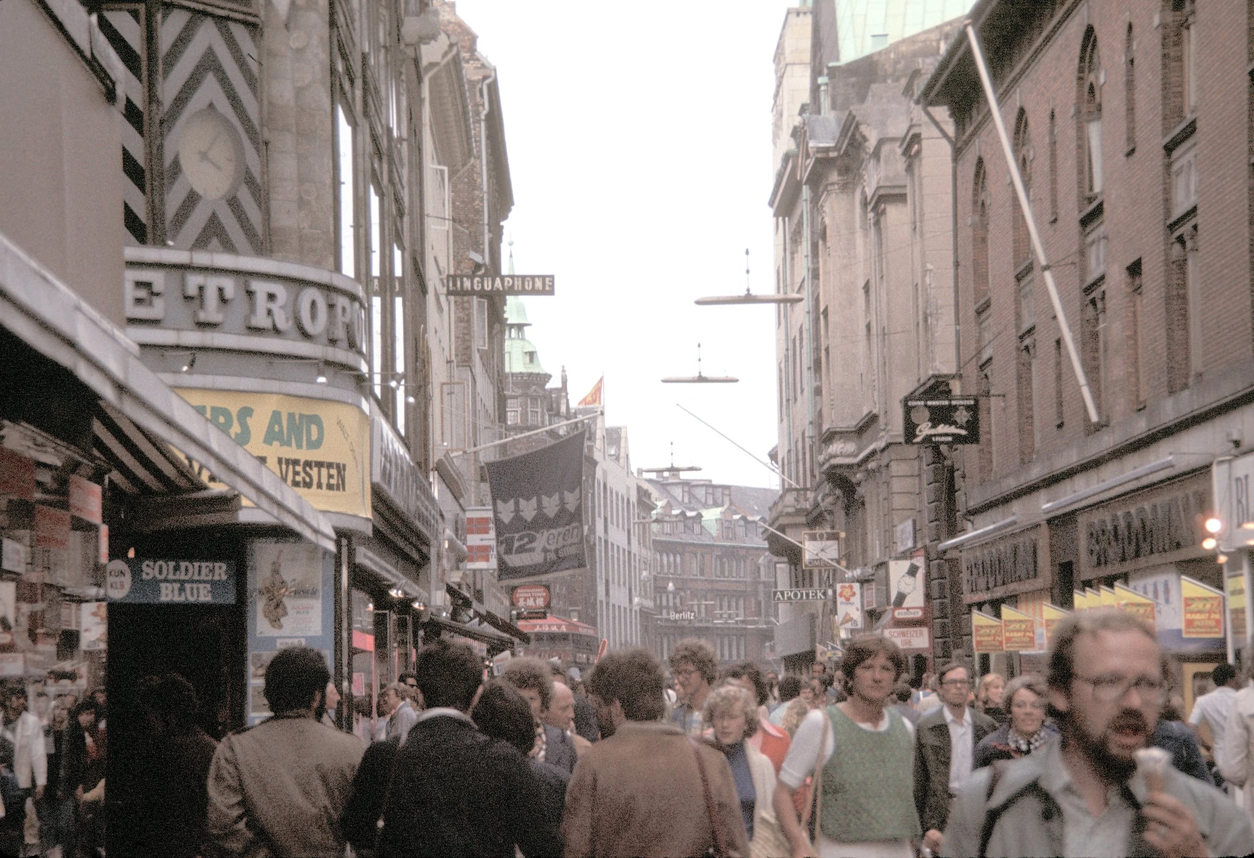

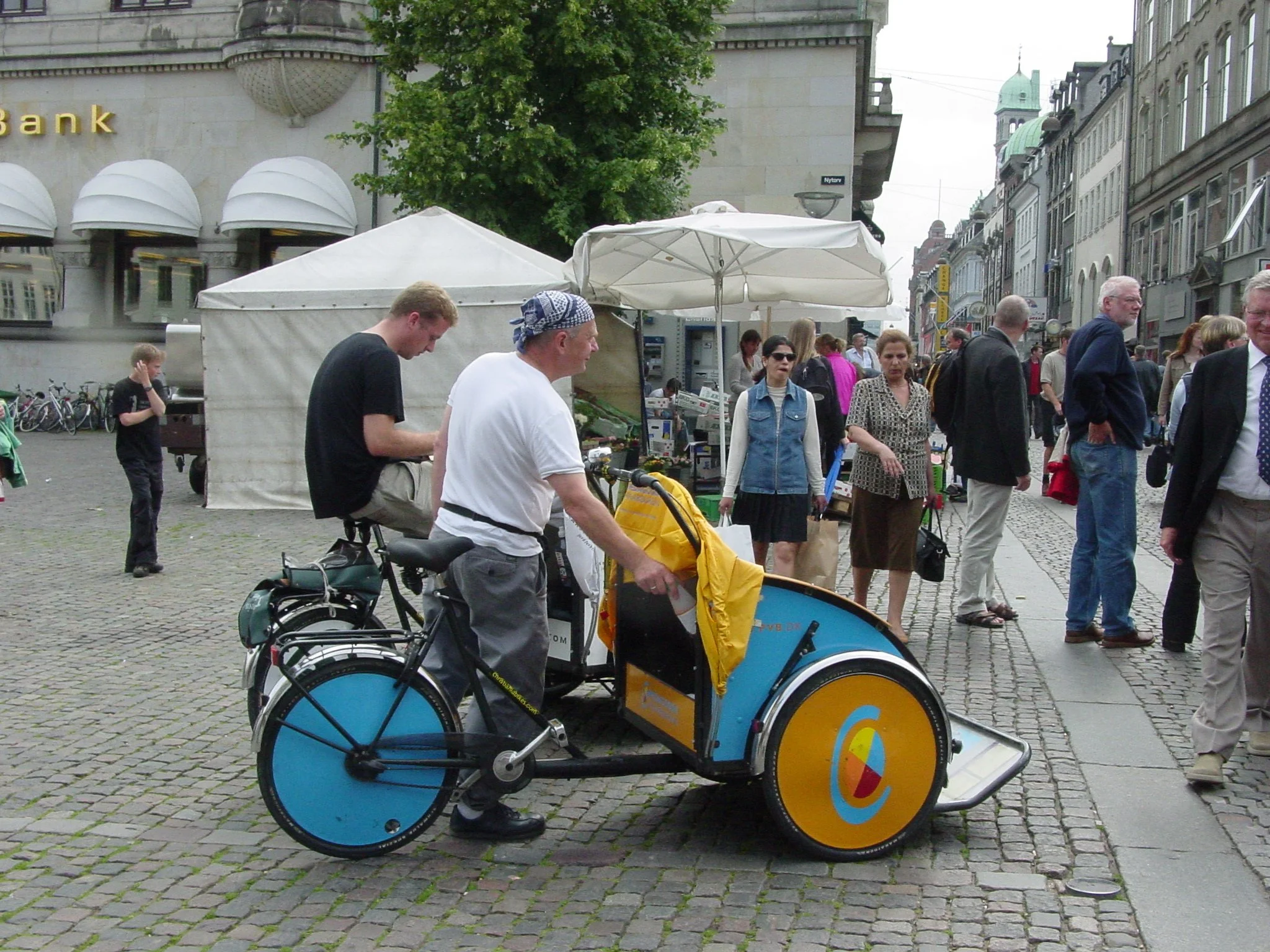
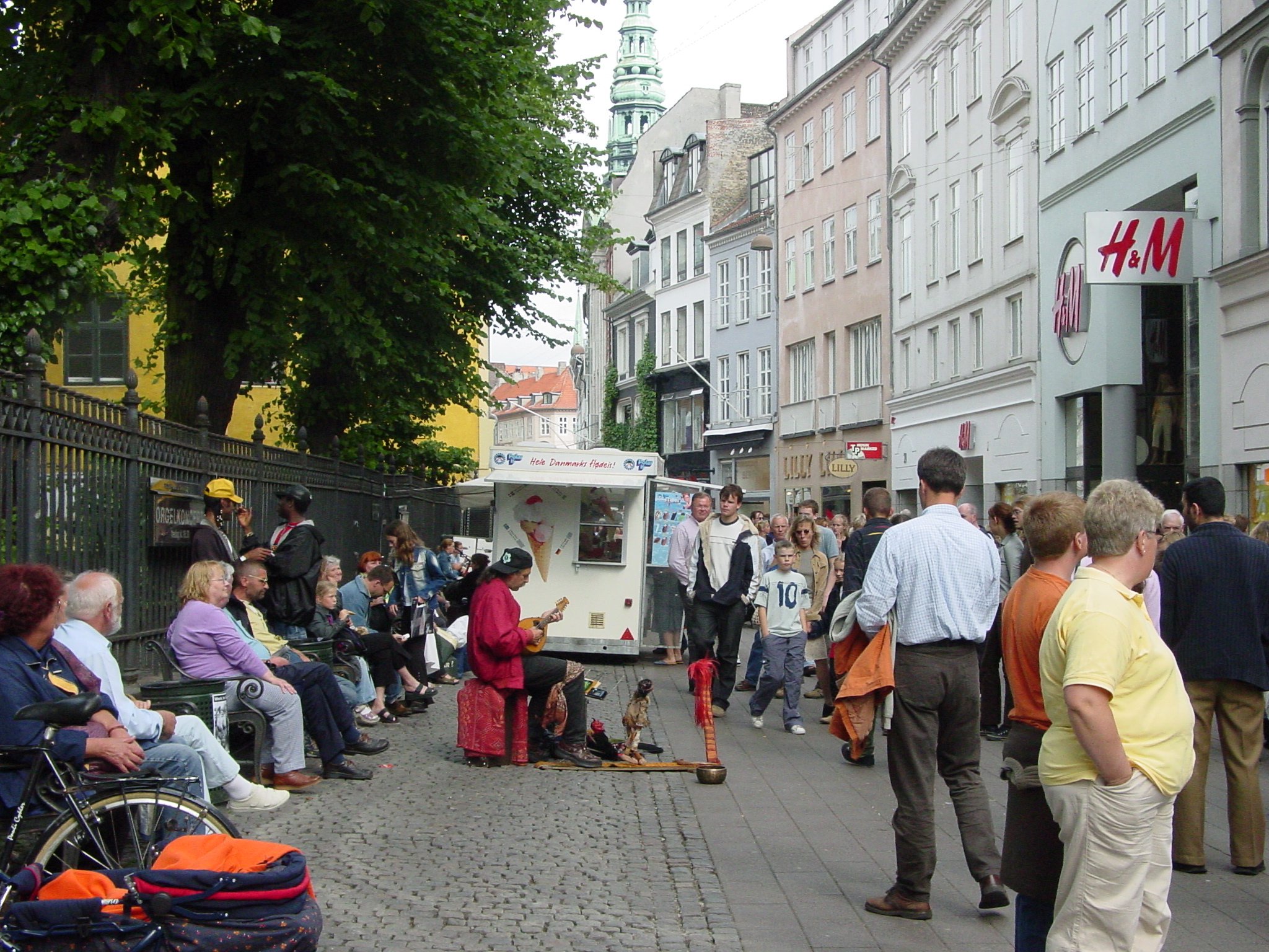
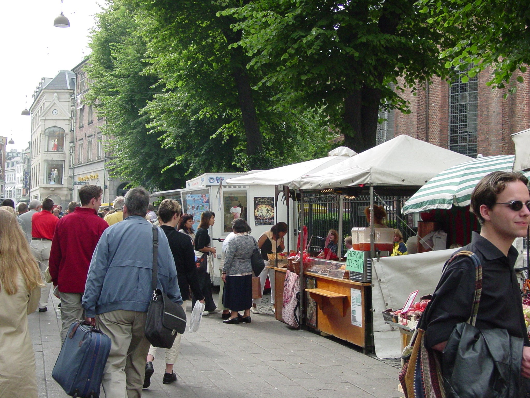
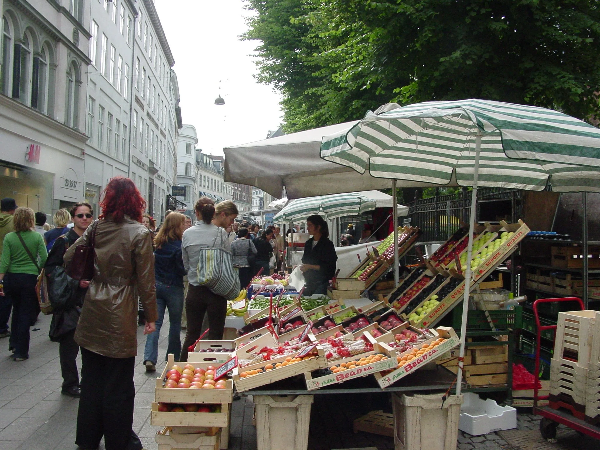

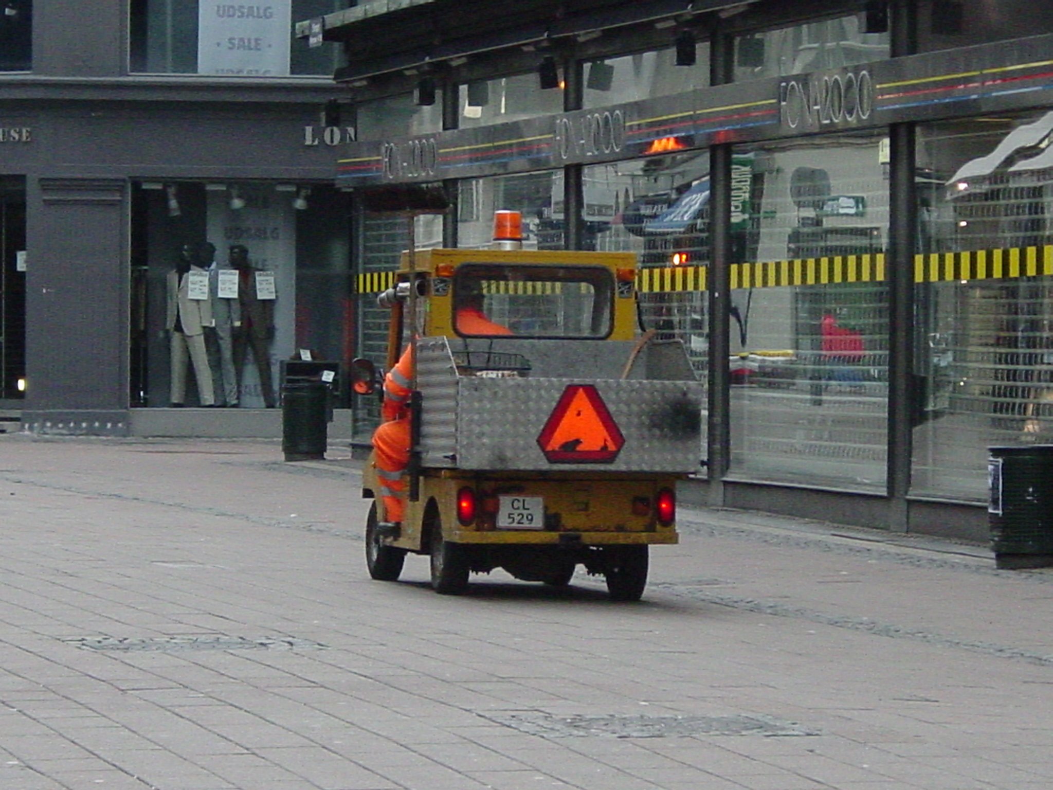
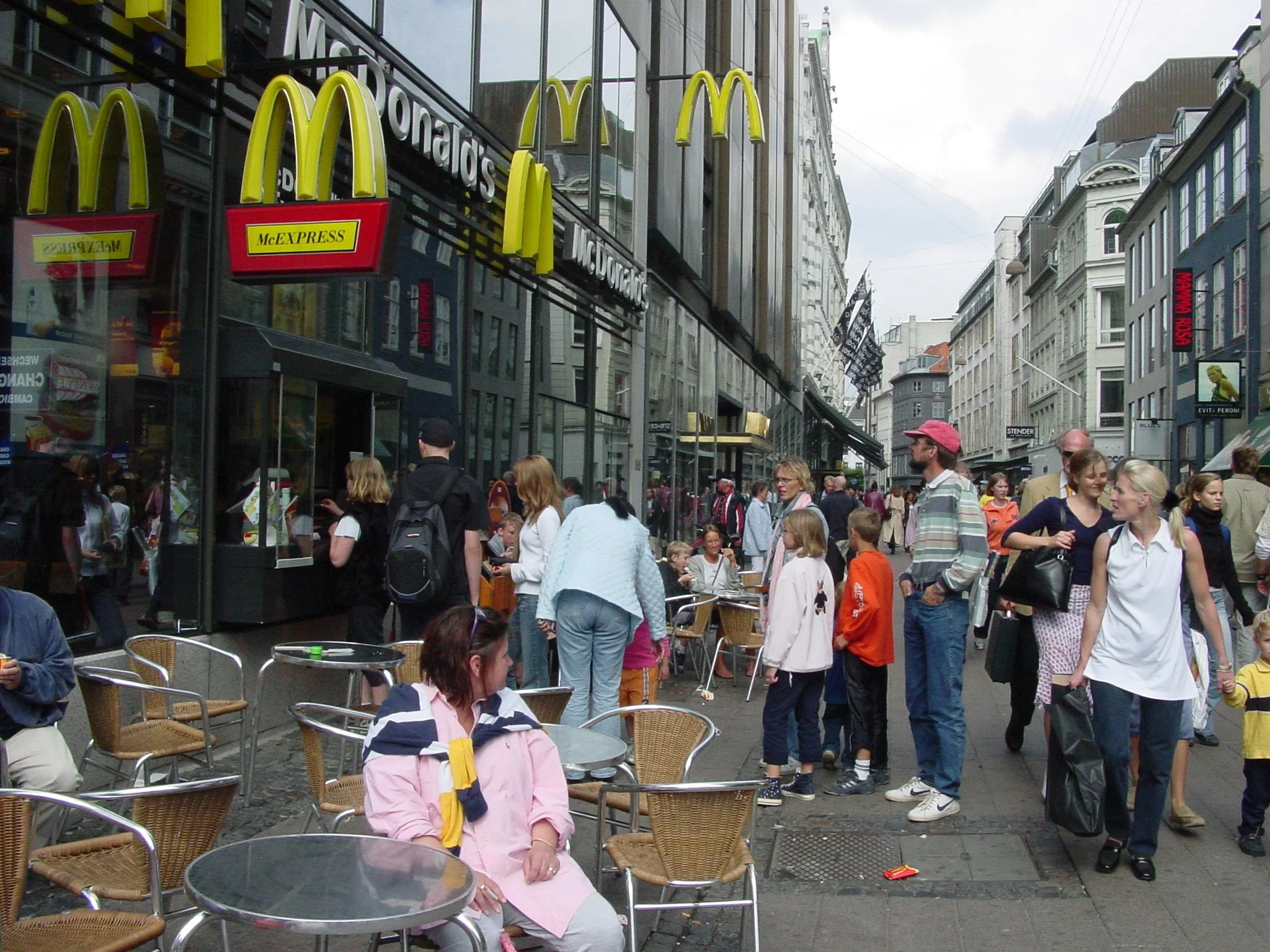
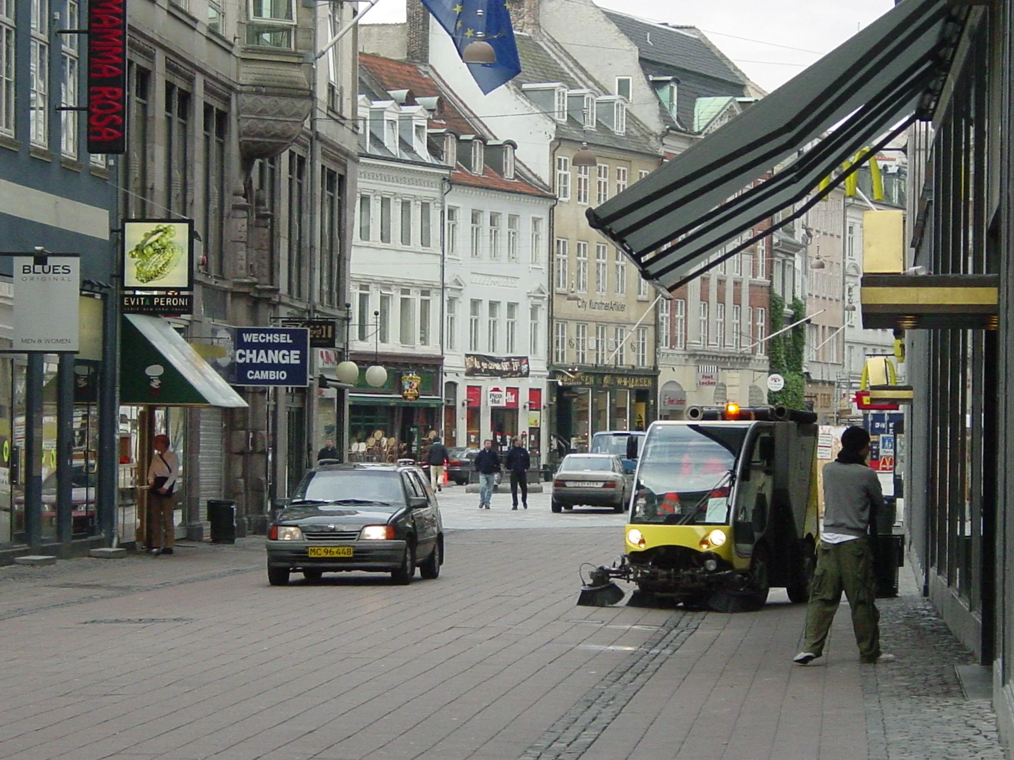
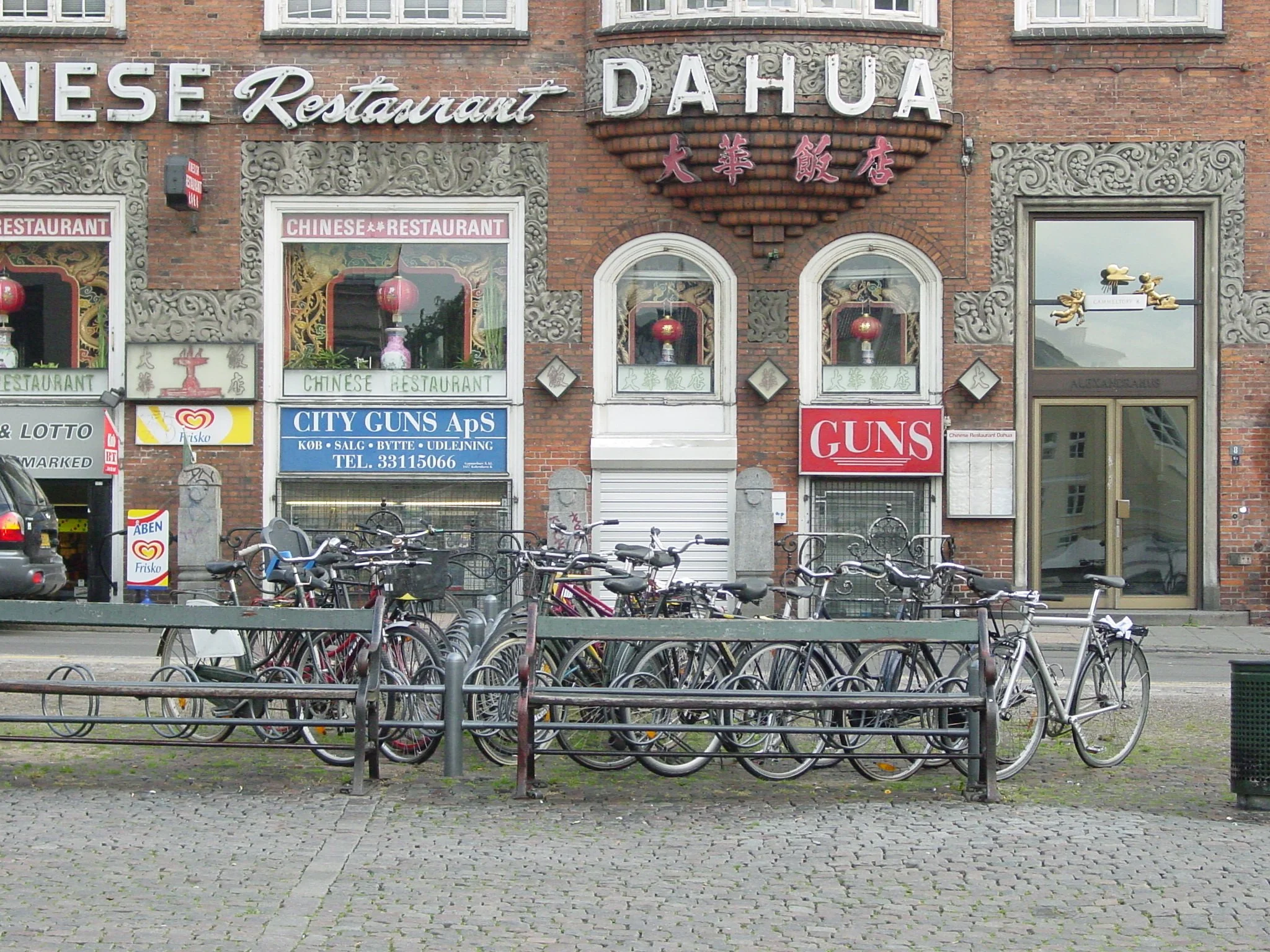
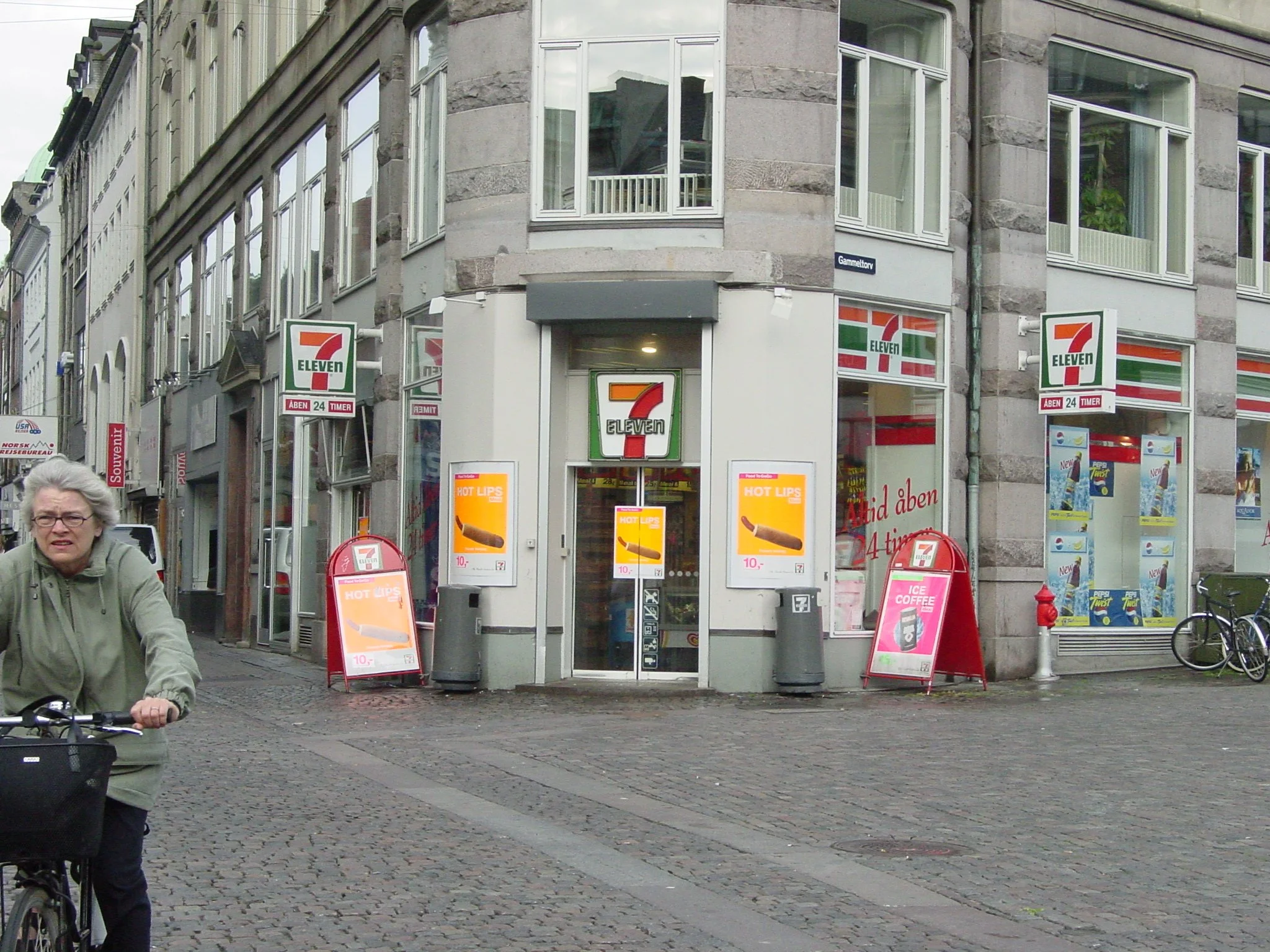
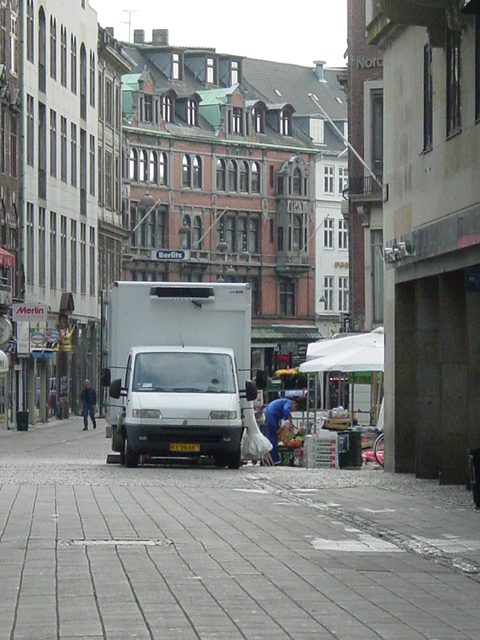
The Stroget, a street in Copenhagen (also included in Alan Jacobs’ boo) provides an excellent model for urban planners. The street accommodates, retail and residential, pedestrians and cyclists, maintenance and repair, multiple styles of architecture, high density, and long-term sustainability.
Great Streets
The two best resources for understanding the form of streets (the primary “voids” in figure-ground plans) are Great Streets (1995) by Alan Jacobs and Grand Boulevards (2003) by Alan Jacobs and Elizabth MacDonald. Both books are the only genuine “complete” streets that I have found that go beyond the abstracted right-of-way called “complete” (incorrectly) by transportation planners. It is the “right-of-way” which is often completed by engineers, but not the “street” which by definition includes all the buildings and activities. In these books, for each street the authors include the details and the dimensions for the physical, social and economic conditions which make that street a good form and opportunity.
The drawings in these books, include dimensions and diagrams that are essential components of the knowledge needed by practicing planners to make a good place. For example, planners making waterfront streets should review the details of the Amsterdam street drawings provided by Jacobs. Other, online sources, may show a truly complete cross section that includes buildings but rarely provides empirical details of how all the pieces fit together, especially with regard to the building interiors. In contrast, the constant refrain of “complete streets” misleads planners because it ignores the full context of the city – complete rights-of-way look only at the “voids” (the white areas in a figure ground) and ignore the “solids” (the “black” on the map) filled with urban life that make the street a meaningful part of the community.
Image of the City
Kevin Lynch’s Image of the City influenced many fields outside of urban planning. His simple disaggregation of city form into five components (paths, edges, nodes, districts and landmarks) became an easily understood model that non-planners (including writers in psychology, economics, and sociology) used as a valid urban theory when viewing their subject matters. Lynch’s subsequent publication, Good City Form is more complex but more insightful into the structure of cities. For city planners, the attributes listed in Good City Form may not seem like easy-to-remember slogans, but they offer much-needed validity. Some of the key attributes vary appropriately with each urban context (such as “fit” and “access “) but others, specifically “efficiency” and “justice”, were designated by Lynch as “meta-attributes” of universal application. Lynch’s work, however, does not provide the clarity of urban form shown in TheUrban Design Legacy of Colin Rowe.
Pattern Language
Christopher Alexnder’s Pattern Language (1977), developed with a team of designers and planners, discusses the form of communities as a series of hundreds of interconnected patterns, each presented in a few pages. These patterns are self-contained physical forms which include unique social, economic and cultural attributes. Each pattern is illustrated with diagrams, pictures, statements of purpose, dimensions, and relationship to other community patterns. Over several decades, this approach to defining places with valued social and economic opportunities has been popularized by other planners and designers who have generated even more “patterns” to fit different contexts.
While the concept of “pattern language” can be applied in different circumstances, it has some shortcomings that can be amended to fit each context. At times, the patterns seem to lack full transferability (e.g., a pattern for a suburban Pacific coast village may not fit a dense Atlantic coast urban core). On the other hand the patterns do offer, limited or partial transferability which places the burden of praticality on the planners and designers using the patterns:
Does the pattern fit?
What might need to change?
Can we find examples of this pattern that work better?
Does this pattern link differently with other patterns/
Legitimate hallenges to transferability include differences in community history, as well as precise dimensions and or regulations needed to implement recommendations. Put another way, Pattern Language works well, but. not without the talent and insight of the designers and planners.
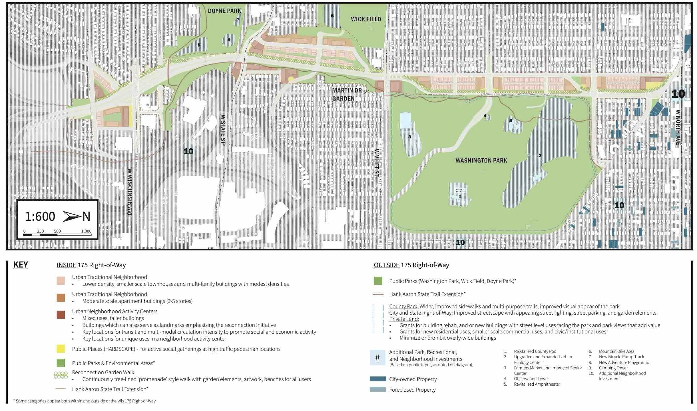
The plan above, was prepared for the Wisconsin Department of Transportation as one alternative for replacing Highway 175 in Milwaukee. The urban design embodies many of the recommendations from the books noted above including enclosure of public places, extension of major parks, object-like builds at critical neighborhood centers, building textures that fit the neighborhood and many related features. From the standpoint of city planning, this plan also includes highly detailed recommendations for new transportation facilities as well as public policies and opportunities both inside and outside of the right-of-way. This is one of numerous alternatives developed during the planning process and presented to the public.